
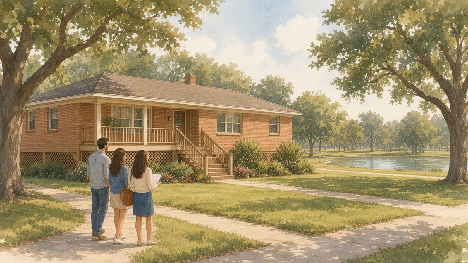
Meyerland sits on both sides of Brays Bayou at the southwest corner of Loop 610, and it has flooded more than once in living memory. After Hurricane Harvey, many owners there raised their houses or tore them down and rebuilt higher, so a single block can now mix 1950s slab ranches with homes sitting several feet up on piers. This guide covers the flood record, what Project Brays changed, the City of Houston elevation rules, the neighborhood rules for raised homes, and the documents to ask for before you offer. Everything below was checked on November 18, 2026.
TL;DR
- Brays Bayou has a long flood record. The Harris County Flood Control District lists major floods in 1983, 2001, 2015 and 2017, among others, and notes that most of the watershed was built before floodplain rules existed.
- Project Brays, a $480 million effort with the U.S. Army Corps of Engineers, finished in 2022. It lowers risk but doesn't remove it, and the official FEMA maps still decide insurance.
- Since September 1, 2018, new homes and substantial improvements in Houston's regulated floodplain must have the lowest floor at least 2 feet above the 500-year flood elevation.
- "Substantial" means work costing 50 percent or more of the structure's market value. A big remodel of an unraised ranch can trigger the full elevation rule.
- In Meyerland proper, the Meyerland Community Improvement Association requires skirting around raised homes and measures its 36-foot height cap from the City's minimum flood protection elevation.
- Ask for the elevation certificate, the seller's flood disclosures and the flood insurance history on every house, raised or not.
Where Meyerland is and what you're buying
The City of Houston's Super Neighborhood 31 page describes the Greater Meyerland Area as straddling Brays Bayou at the southwest corner of Loop 610. It includes Meyerland, Marilyn Estates, Barkley Square and Maplewood, and it was developed starting in the 1950s. The page lists nine civic clubs and associations, including the Meyerland Community Improvement Association, the Maplewood Civic Club and the Braesmont Civic Club, so which rules apply depends on where the lot is.
The City's 2024 Super Neighborhood profile, based on 2020 to 2024 Census Bureau estimates released in January 2026, puts the area at 21,078 residents and 9,361 housing units, with a median house value of $500,156. Unraised ranches, raised originals and new builds on one street can sell for very different prices.
Meyerland proper is the largest piece. The association's history page says it was formed on September 24, 1954, that former rice fields became the subdivision in the spring of 1955, and that it was developed in numbered sections, each with its own deed restrictions. It counts 2,309 home sites today and notes that some older homes are being replaced by newer, larger ones. For other parts of the city, see our Houston area guides.
The flood history behind the raised houses
The Harris County Flood Control District's Brays Bayou watershed page describes a fully urbanized watershed of about 127 square miles that drains parts of Houston, Bellaire, West University Place and other cities on its way to the Houston Ship Channel. It says severe flooding has happened on average at least once a decade. Because most of the area was built before floodplain rules and before the 100-year floodplain was mapped, thousands of structures sit inside it.
The district's Project Brays history lists the floods buyers hear about:
- September 1983: record flooding along Brays Bayou, with about 1,000 homes and other structures flooded.
- June 2001, Tropical Storm Allison: five-day rainfall above 20 inches in the Brays watershed.
- May 2015, Memorial Day: more than 6,000 structures flooded in the Buffalo and Brays watersheds, with nearly 11 inches of rain in 3 hours on Brays Bayou.
- August 2017, Hurricane Harvey: catastrophic flooding across Southeast Texas. FEMA's Harvey disaster page lists the incident period as August 23 to September 15, 2017.
That record explains the raised houses, and the 2018 city rules below set a higher bar for anything built since.
What Project Brays and newer detention change
Project Brays was a joint effort of the Flood Control District and the Army Corps that widened the channel, replaced bridges and dug detention basins. The district's timeline shows channel work finished from upstream of Buffalo Speedway to upstream of Loop 610 in 2018, channel changes from the Ship Channel to Fondren Road finished in 2021, and the final bridges and the overall project finished in 2022. The district's Project Brays floodplain maps page links to its Flood Education Mapping Tool and to a Conditional Letter of Map Revision map showing the expected floodplain after the project.
Work is still going on near Meyerland. At an August 2023 public meeting, the district presented the Meyergrove Stormwater Detention Basin project: two basins along Braeswood Boulevard between Loop 610 and Linkwood Drive. One would sit near 610 and North Braeswood and a smaller one in the median between North and South Braeswood. Together they would hold 94 acre-feet of storm sewer runoff until Brays Bayou has room for it. That's about 30.6 million gallons, according to the meeting slides. Check the project page for its current status before you count it as built.
A lower modeled risk isn't a guarantee. The district itself says severe flooding has hit the watershed about once a decade, and the effective FEMA map, not a project announcement, is what lenders and insurers use. The house's own elevation still matters most.
The City of Houston elevation rule since 2018
Meyerland is inside the City of Houston, so the City's floodplain ordinance, Chapter 19, governs rebuilding there. Ordinance 2018-258 took effect September 1, 2018. It defines the minimum flood protection elevation as the 0.2 percent (500-year) flood elevation plus 2 feet.
The City's Floodplain Management Office says new structures must be at least 2 feet above the 500-year elevation, or 3 feet for critical facilities and buildings in the floodway. It issues floodplain development permits for work in the 500-year floodplain, the 100-year floodplain and the floodway.
The 50 percent rule
Chapter 19 defines a substantial improvement as any repair, reconstruction, rehabilitation, addition or other improvement costing at least 50 percent of the structure's market value before the work starts. Substantial damage means repairs that would cost at least 50 percent of the pre-damage market value. Both bring the house under the new-construction elevation rules.
If you buy an unraised ranch in the floodplain planning a full gut and an addition, the budget can cross 50 percent of the structure's value and turn the job into an elevate-or-rebuild decision. Price that before you offer. The office takes calls at 832-394-8854.
If the house floods after you buy
The City notes that flood insurance policyholders whose homes are found substantially damaged may qualify for Increased Cost of Compliance coverage of up to $30,000 to elevate, demolish or relocate the structure.
Meyerland's own rules for raised homes
In Meyerland proper, the association's policies page adds rules that matter for elevated homes. Its Height of Residence Policy, adopted by the board on May 14, 2018 and recorded in 2020, caps homes and secondary quarters at two and one-half stories and 36 feet. That 36 feet is measured from the City's minimum flood protection elevation, not from the ground, so the extra foundation height the flood rule requires doesn't count against the cap.
The Skirting Policy says every raised dwelling or structure must be skirted, generally following the footprint, including porches and stairs. Lattice is not allowed on the street-facing front or on other sides not behind fences. Neither are materials with more than 50 percent openings, corrugated metal panels, unfinished cinder block or fencing material. Skirting counts toward a section's masonry percentage. Flood vents and access panels are treated like doors or windows in that math, and government-required openings are always allowed. Committee approval is required before any skirting work.
Use the association's section finder and its deed restrictions page to match a lot to its section. If you're comparing Meyerland with the separate city next door, see our guide to buying in Bellaire, which has its own flood rules.
What to check on a specific Meyerland house
Flood zone and flood history
Start with the official zone. FEMA's Flood Map Service Center shows the effective map for the address. Our step-by-step guide on how to check a Houston home's flood zone and flood history walks through it. Harris County's MAAPnext maps are still drafts as of November 18, 2026, shown for awareness only and not usable for insurance or regulatory decisions. MAAPnext also notes that Harvey wasn't the worst flood for every neighborhood, so "it didn't flood in Harvey" isn't the whole story.
The seller's disclosures
The TREC Seller's Disclosure Notice asks whether the property has current flood insurance, whether water has entered the structure in a natural flood, whether it's partly or wholly in the 100-year or 500-year floodplain, whether the seller has filed a flood claim, and whether the seller received FEMA or SBA help for flood damage. Read those answers closely. Our Texas seller disclosure guide explains the form.
Elevation proof
For a raised or rebuilt home, ask for the final elevation certificate and the City floodplain development permit. FloodSmart's elevation certificate page says a certificate shows a building's height compared with expected flood levels and can help identify flood insurance discounts. Your local floodplain manager may already have one on file. The City's office says it can give flood zone determinations and elevation certificates as available. If there isn't one, a licensed surveyor can prepare it.
Insurance and the record
Get a flood insurance quote before your option period ends. The City notes that standard homeowner policies exclude flood and that a new NFIP policy normally has a 30-day waiting period. See what flood insurance costs in Houston. Then check the HCAD record for the year built and any remodel history, and ask the title company for the recorded deed restrictions for the section.
Costs to plan for at closing
Meyerland proper has its own closing items. The association's title and agent page lists, as of November 18, 2026, a $200 transfer fee and an optional resale certificate for $300 that includes the section's deed restrictions, the bylaws and the association's policies. Other parts of the Greater Meyerland Area have different associations, so ask the title company which one covers the lot.
FAQ
Is all of Meyerland in a flood zone?
No single answer covers the area. Zones vary by street and lot, so look up the address on FEMA's Flood Map Service Center. A home outside the high-risk zone can still flood.
Why are some Meyerland homes raised on piers?
After repeated floods along Brays Bayou, many owners elevated or rebuilt higher. Since September 1, 2018, new homes and substantial improvements in Houston's regulated floodplain must have the lowest floor at least 2 feet above the 500-year flood elevation.
Did Project Brays fix flooding in Meyerland?
It reduced risk. The Flood Control District finished the $480 million project in 2022, and more detention, such as the Meyergrove basins, has been planned since. No project removes all risk, so check the specific house.
Can I remodel an older Meyerland ranch without raising it?
Maybe. If the home is in the regulated floodplain and the work costs 50 percent or more of the structure's market value, Chapter 19 treats it as a substantial improvement, and the house must meet the elevation rules.
Does a raised house in Meyerland need skirting?
In Meyerland proper, yes. The association's Skirting Policy requires every raised structure to be skirted, bars lattice on the street-facing front, and requires approval before any skirting work.
How tall can a new Meyerland home be?
The association's height policy caps homes at two and one-half stories and 36 feet, measured from the City's minimum flood protection elevation. Section deed restrictions control if they conflict.
One last thing
In Meyerland, the useful question isn't whether the neighborhood floods. It's how high this house sits, what it would take to bring it up to today's rules, and what the paperwork proves. Get the elevation certificate and the disclosures before you fall for the floor plan. Browse homes on our search page, or contact Vital Realty for help with a specific property.
Related guides
- How to Check a Houston Home's Flood Zone and Flood History
- Flood Insurance in Houston: What Drives the Cost and When You Need It
- Buying in Bellaire, TX: Rebuild Rules, Flood Risk and Taxes
- The Texas Seller's Disclosure Notice: What Houston Sellers Must Disclose
- New Construction vs. Resale in Houston: How to Compare Them